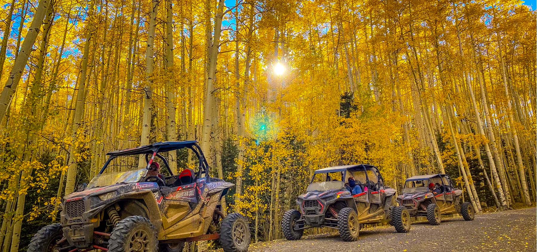
Looking for adventure, but less work than hiking and mountain biking? Try any of the trails designated for motorized traffic. These trails will take you to mountain peaks and amazing vistas of the San Luis Valley, to creek bottoms and dense forest growth. No matter what your skill level, beginners to advanced riders will find limitless possibilities day after day. Best time to travel the trails is April to November, depending on snow conditions.
Know Before You Go
- Register your ATV if you plan to ride in Town: $10 ATV/OHV Registration
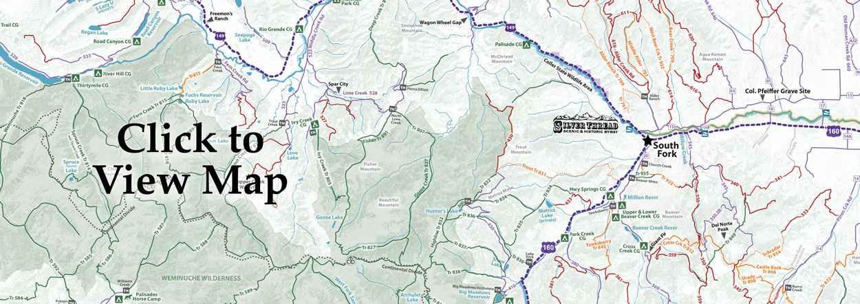
- Know where you can drive in Town Town Map SFPD Rules
- Know where you can drive in the National Forest
- Tell Someone: Where you’re going When you’ll be back
- Buy a Search & Rescue Card ($3 online). The card helps reimburse local SAR team’s expenses for search and rescue missions
- Check the Weather
- Maps - don’t rely on cell service. Either have them printed or downloaded before you go- try the COTREX App
- Stay the trail where you won’t damage flora and fauna. Nothing will break a local’s heart like a bunch of mudboggers spinning circles in our pristine meadows
- Stay on the Trail! Going around obstacles widens trails, and causes erosion. Challenge yourself by staying on the trail.
Our Favorite Easy ATV / OHV Drives
Summitville #380 (H/I7) • 18 miles • EasyTake Park Creek Rd/FSR380 for about 15 miles, then turn left on FSR330 and in 3 miles you will reach Summitville, an 1870s gold mining town that was once home to over 700 people. Mining continued off and on here until 1985. The site is now in the reclamation process but you will see many old buildings and structures, as well as an interpretive site.
Bachelor Loop Historic Tour (F3) • This 17-mile driving tour loops through Creede’s historic silver mining district and ghost towns. The tour’s first interpretive stop is just north of Creede in Willow Creek Canyon. A passenger car can traverse the graded gravel road to the Equity Mine and then return to Creede via Bachelor Road and the old town site of Bachelor.
Beaver Creek Road (H5-7) • Take Hwy 160 west 3 miles from South From to Beaver Creek Reservoir FSR360. Head south toward Poage Lake. The first 5-7 miles are through Aspen forest. You will pass through the pines then the spruce and fir for great views of the surrounding mountains.
Willow Creek/Del Norte Peak (I5-6) • Head two miles east of town along Hwy 160 and go south onto CR60/Forest Service Rd 345 (just east of Tiny Timbers). A staging/parking area is just up the road. Load up on your ATV/OHV, and follow FSR 345 south, then east, and then south again. You may follow it to the turn-off for FSR 350.2B, where you will turn back to the northwest and travel around Del Norte Peak for beautiful views of the mountain. Go south on FSR 350 to return to town.
Platoro (H6-I8) • 40 miles and 2 hours, one way • Take Hwy 160 south out of town. Take Park Creek/Forest Service Road 380 toward Summitville. Take the turn to Elwood Pass, which will take you into Platoro. On the way down the pass you will drive through canopies of Aspen and have incredible views in all directions. There is a Lodge in Platoro that serves delicious burgers, among other things. The drive is around 40 miles one way and should take around two hours to reach Platoro.
Our Favorite Moderate ATV / OHV Drives
Wheeler Geologic Area #600 (G3) • 14 miles • Moderate to Difficult • 10,900ft • Wheeler is located 24 miles from South Fork. Go north on Hwy 149 to Pool Table FSR600. The trail starts at the East Bellows Trailhead. The 14 mile, grueling 4-wheel drive road to the area is quite rough and in wet weather it can get very slick and become impassable. Your efforts are rewarded by views of a remarkable geologic formation of moderately coarse volcanic tuff eroded into many different shapes. Plan to leave early for this full-day trip. Must have a high-clearance jeep or OHV/ATV.
Rat Creek Loop #505/503 (F2) • 8.5 miles • Moderate • 10,200-12,800ft • This loop starts and ends off of the Bachelor Loop Road outside of Creede. The lower portion weaves in and out of spruce trees, and then climbs up to a section of tundra near the Continental Divide. Be sure to take the short spur leading up to the Divide. The trail then drops down into Willow Creek on #503 and passes the Equity Mine, and ends back on the Bachelor Loop Rd.
Alpine Loop #20 & 30 (B1-C2) • 65 miles • This Scenic & Historic Byway travels through a surreal landscape of treeless tundra and mountains seemingly splashed with red and yellow paint near Ouray, Lake City and Silverton. An early start is required, as the trip takes a full day.
Silverton/Rio Grande Reservoir #520 (A-C4) • Request Info
Bristol Head #532 (D3-E4) • 15miles • Moderate • 12,700-11,400ft
Our Favorite 50" ATV or Motorcycle Trails
Cross Creek #812 (H6) • 4.7 miles • Moderate • 8400-9000 • Motorcycle and 50” ATVs. Trail begins at Beaver Creek FSR360 and ends at FSR350. The end of the trail offers some beautiful views of Del Norte Peak, Willow Park and surrounding area.
Shady Creek #898 (I6) • 11.4 miles • Moderate • 9400-11,200ft • Motorcycle and 50” ATVs. From Del Norte, travel southwest on CR14 for 13 miles. Turn right and travel west on FSR331 . The trail starts right as you drop down into the Pinos Creek bottoms. The trail follows west Pinos Creek down stream about a mile then climbs up Shady Creek to its headwaters. It then crosses the Hogback ridge and terminates in Willow park.
Tewksberry #842 (H6) • 6.1 miles • Moderate • 8400-10,200ft • Motorcycle and 50” ATVs. Take Hwy 160 south 1 mile to Beaver Creek Reservoir turn-off. Turn left on FSR20 for 3 miles. Turn right and travel west on FSR355 to the trailhead just behind the Tewksberry Corrals. The trail makes a gentle ascent over scenic Meadow Pass between Cattle Mountain and Demijohn Peak. Throughout the trail, spruce, Douglas fir and aspen stands shade the pathway, interspersed with open grassy meadows. For the first 2 miles, Tewksberry Creek meanders near and occasionally crosses the trail. The trail ends at FSR361.

